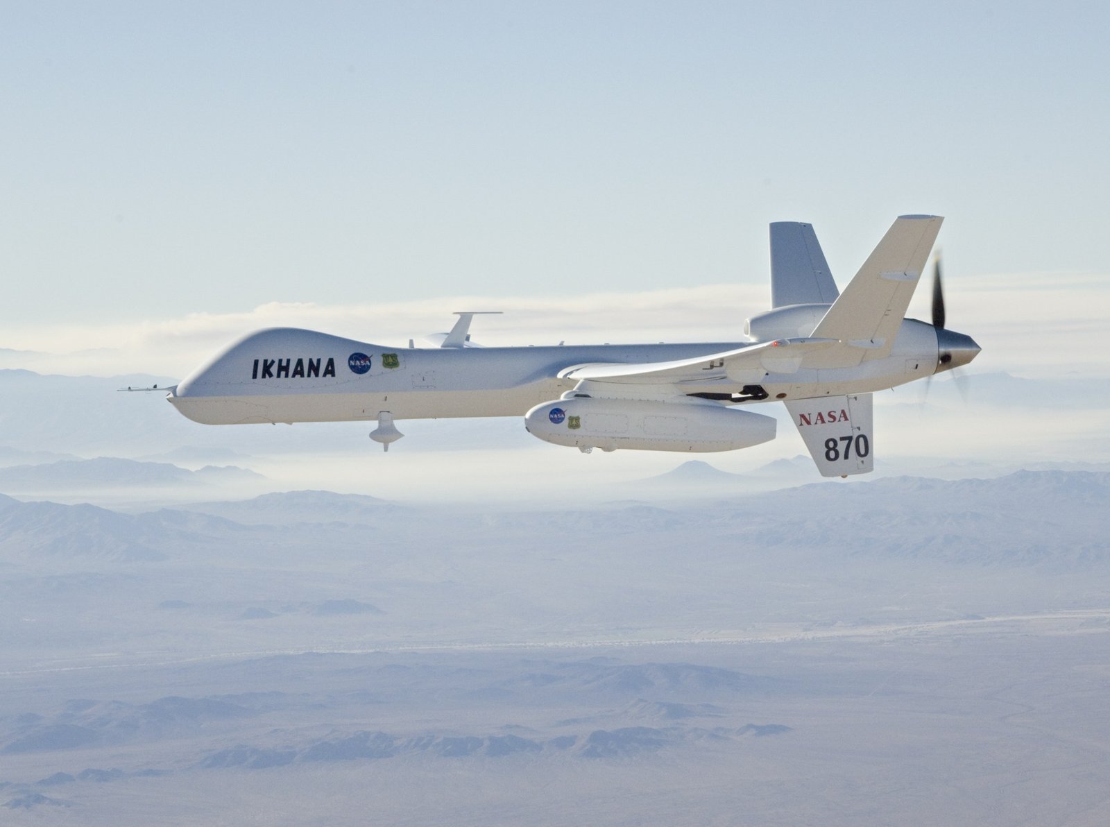
NASA Ikhana (civil MQ-9) departing on a Southern California wildfire imaging mission, smoke from the Lake Arrowhead fires behind, Oct 2007 — NASA/Jim Ross (public domain)
Fixed-wing, 5–8 m wingspan class, 10–20 h endurance; one flying, one backup
FLIR + visible cameras on a stabilised turret; laser rangefinder
Builds and refreshes the 3D model of the terrain and the fire front
Detects the fire, its evolution and new spot fires; feeds the AI planner
Acts as the radio relay between the ground station and every helicopter
Flies 2,000 ft AGL on average: 1,500 ft minimum, 4,000 ft over valleys
Operates from a runway with its own maintenance and refuel team, up to 100 km from the fire